
It goes without saying that names can provide clues to an area’s past. Kentish Town takes its own from the river, ‘ken-ditch’ meaning ‘bed of a waterway’. And as has been mentioned previously here, Anglers Lane is a direct reference to the River Fleet, long since forced underground. It’s hard to picture now, but fishermen really did walk that way, and linger on its banks.
Sometimes a whole group of street names will relate to one landowner. For instance, the area to the east of The Oxford was owned by Christ Church, Oxford University. This includes Frideswide Place (which is cut off by the railway), Wolsey Mews, directly south of it, and Peckwater Street, to its east. It turns out that St Frideswide Priory, established in 1122, was the predecessor to Christ Church. The priory was managing quite nicely thank you until Cardinal Wolsey turned up in the 16th century, dissolved it, then turned it into Cardinal’s College. Just five years later, in 1530, he fell from power and Henry VIII took over the college, renaming it Aedes Christi (Christ Church).

Cambridge University also had a stake in the area, with St John’s College land to the north of Kentish Town tube station. Lady Margaret Road, for instance, honours Henry VII’s mother, Lady Margaret Beaufort, who founded the college. And Burghley Road is a thank-you to Lord Burghley – Principal Secretary and Lord Treasurer to Elizabeth I – for leaving money to St John’s. The provenance of College Yard needs, of course, no explanation.
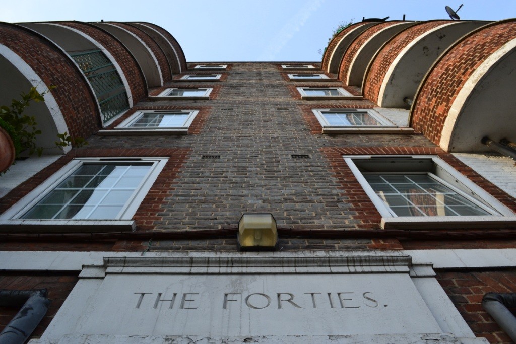
When I first saw Fortess Road on the A-Z, I read it as ‘fortress’ (as the new Co-operative also did). I couldn’t have been more wrong – the name refers to The Forties or forty sections of land in the area.

Finally, heading south-east to the boundary with NW1, the name Cantelowes Gardens (off Camden Road) goes way back, in fact all the way to the 11th century. Why? Because at the time of Norman Conquest, the ancient parish of St Pancras was divided into four manors and Cantelowes was one.

So what’s the origin of your street name? Join in below.
7 thoughts on “What’s In A (Street) Name?”
Well you learn something every day …been wondering about Cantelows for ages
Interesting piece. I’m aware that the streets in the Inkerman area (west of KT Road, bounded by Anglers Lane and Holmes Road) are named after events and people associated with the Crimean War. I think the streets were largely being built in the mid-to-late 1850s so the naming would have been contemporary.
Alma Street refers to the Battle of Alma, the first battle of the Crimean Campaign in 1854, itself named after the (very small) Alma River. ‘Alma’ means Apple in Crimean Tatar.
Inkerman Street, after which the conservation area is named, is named after a slightly later (and more vicious) battle in 1854: the Battle of Inkerman, named after the small town of Inkerman. The adjoining Cathcart Street is named after General Sir George Cathcart, who died in that battle.
Raglan Street, parallel to Alma Street, is named after Lord Raglan, the commander of the British forces in that war, who died of illness while on campaign.
And of course, this all explains why the ex-pub on Inkerman Street was named the Crimea – now flats, but with The Crimea signboard and lights still hanging outside.
That’s really interesting – thanks Julianator!
And Willes Road – Sir George Ommanney Willes was a naval commander in the Crimean War
Bartholomew Rd (where I live) I think is part of the group of roads owned by Christ Church, along with Oseney, Busby, Gaisford, Caversham, Islip, Wolsey, Frideswide, Peckwater & Hammond. Not sure where Pasthull and Lawford fit in though?
Very interesting article!
I’m think I read that St Bart’s hospital owned some land in that area, which would explain your road name, if it’s true. Annoyingly, I can’t find the reference just now! I’m glad you liked the article, though.
Can someone help with the streets on the western part of the manor. Malden Road, Southampton Road for example. Also does anyone know how the names of the various council blocks in the area came about. Wendling, Bacton, Denton etc?