All media have jumped on the Royal Society for Public Health (RSPH) report into Britain’s ‘unhealthiest’ high streets today, with poor old Preston revealed as top of the plops for having the most pawn shops, fried chicken joints, bookies, tanning salons and other injurious outlets.
Interestingly, despite the panicky hoo-hah that greets every licencing decision, the RSPH considers pubs and bars to make a positive contribution to health, for the way they combat social isolation and mental issues by bringing communities together. So three late-night cheers for that.
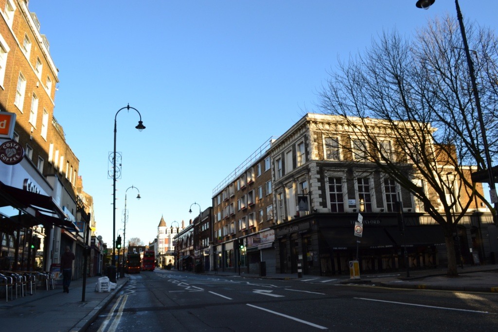
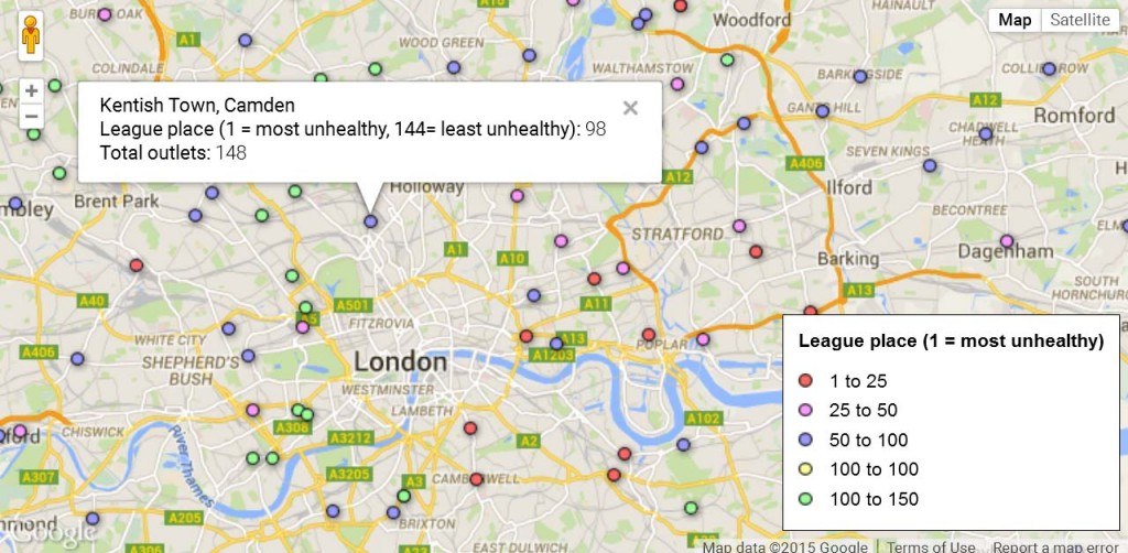
For more on how the individual high streets were scored, see this fairly thorough Guardian article. But where do you think Kentish Town Road came on the capital’s league table of 1 (most unhealthy) to 144 (least unhealthy) high streets? Well, despite openly brimming with budget kebab and chicken options, the high street ranks a reasonable 98. Perhaps the current closure of the former historic Dawson & Bryant pawnbrokers helped spin the numbers, although we’d suggest a boarded up Grade II listed pawn shop might warrant heavier health penalty points, too.
Why no Camden High Street, incidentally? Anyway, just up at Archway, things are much worse, as it scrapes in at 31, but that’s not as bad as Finsbury Park which only clocks in at 8. Meanwhile, swinging across to the other end of the local scale, swanky Hampstead High Street polls a shiny-faced, super-healthy 131.
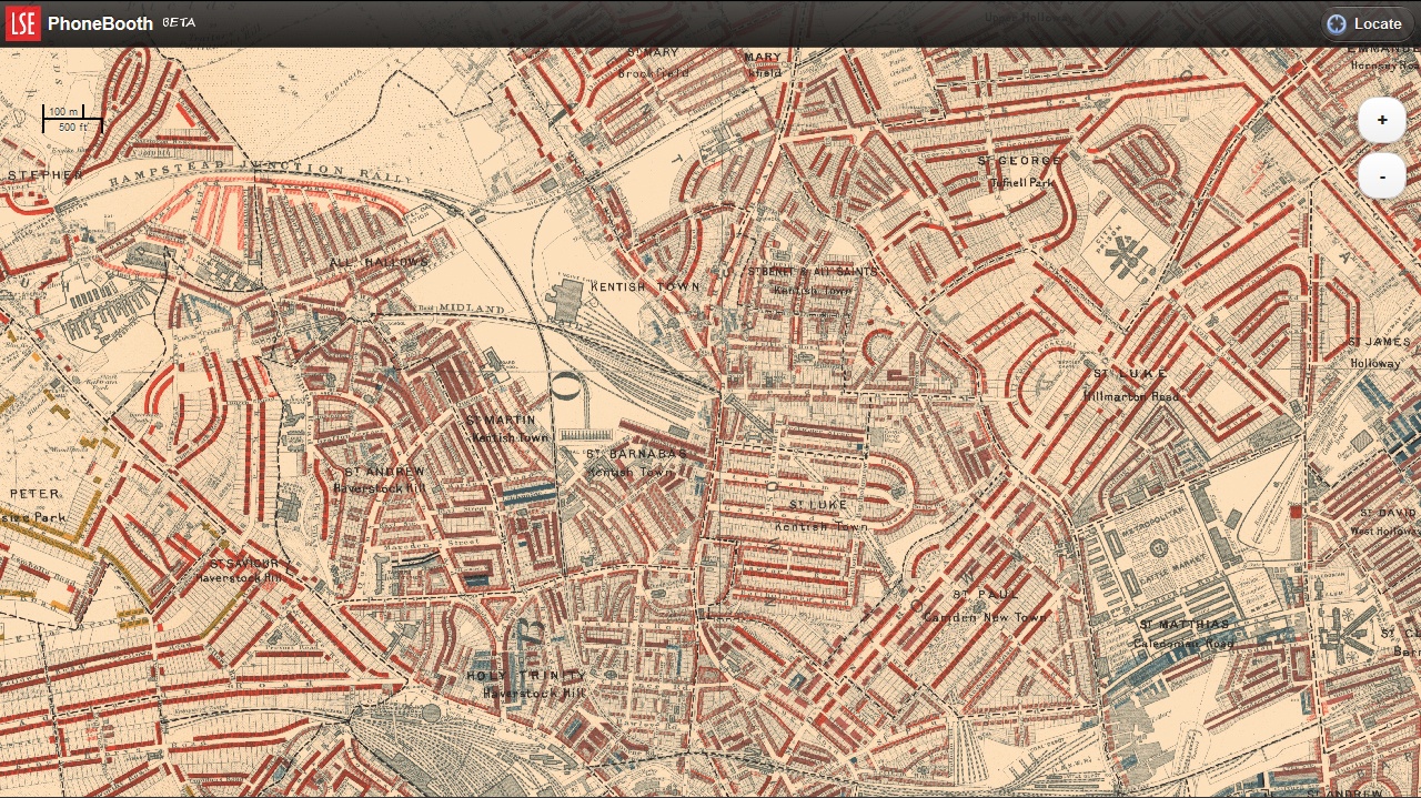
The Guardian have done the best job of visualising all the data via this Google Map. And we couldn’t help but notice the similarities with Charles Booth’s famous ‘poverty map’ of 1886, which similarly colour-codes London, revealing the unwavering link between health and affluence that persists in the city; indeed any city, anywhere.
There were more prostitutes and less tanning salons in Booth’s day, but the market forces that shape local commerce do reveal plenty about an area, even if mapping and listing them only confirms age-old, unresolved social truths, complete with glaring inequalities.